TPWD offers great information on several launch areas, paddle trails to fish, access, etc. Below is a brief overview of the article and the link to get more detail.
Introduction to the TPWD Article
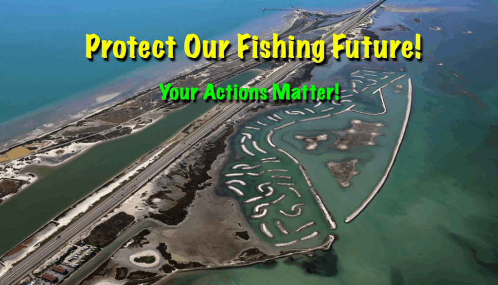
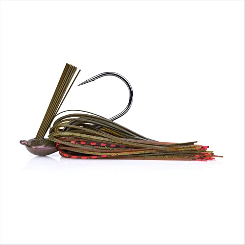
Mustang Island offers paddle anglers a rare mix of shallow flats, winding cuts, and sheltered bays that are tailor-made for kayak fishing. This Texas Parks and Wildlife Department paddling trail system links a series of bay-side launch points and marked routes where you can stalk redfish, trout, and flounder while exploring the coastal marsh and back lakes at your own pace.

On this page you’ll find an overview of three main access points and the trails they serve. Closer to Port Aransas, Island Moorings Marina anchors the North Trail, which winds through small islands and along the edge of Corpus Christi Bay. To the south, Wilson’s Cut provides access to the Shamrock area and a loop trail that brings you back to your starting point, while Fish Pass in Mustang Island State Park offers a longer shoreline paddle that connects back toward Wilson’s Cut. The trail descriptions highlight how these routes interconnect, where they begin and end, and how you can link them together to match your skill level, the weather, and your fishing plans.
The article also includes a detailed map with GPS coordinates for launch sites and key markers, making it easier to find your way on unfamiliar water. In addition, you’ll find a link to the Paddling Trails Finder, an interactive mapping tool that lets you search for other Texas paddling trails by waterbody or by straight-line distance from a town or city. Along with basic safety tips and notes on access and road conditions, this page gives kayak anglers a solid starting point for planning a safe, productive day on Mustang Island’s coastal paddling trails.
TPWD Link: https://tpwd.texas.gov/boating/paddling-trails/gulf-coast/mustang-island/